
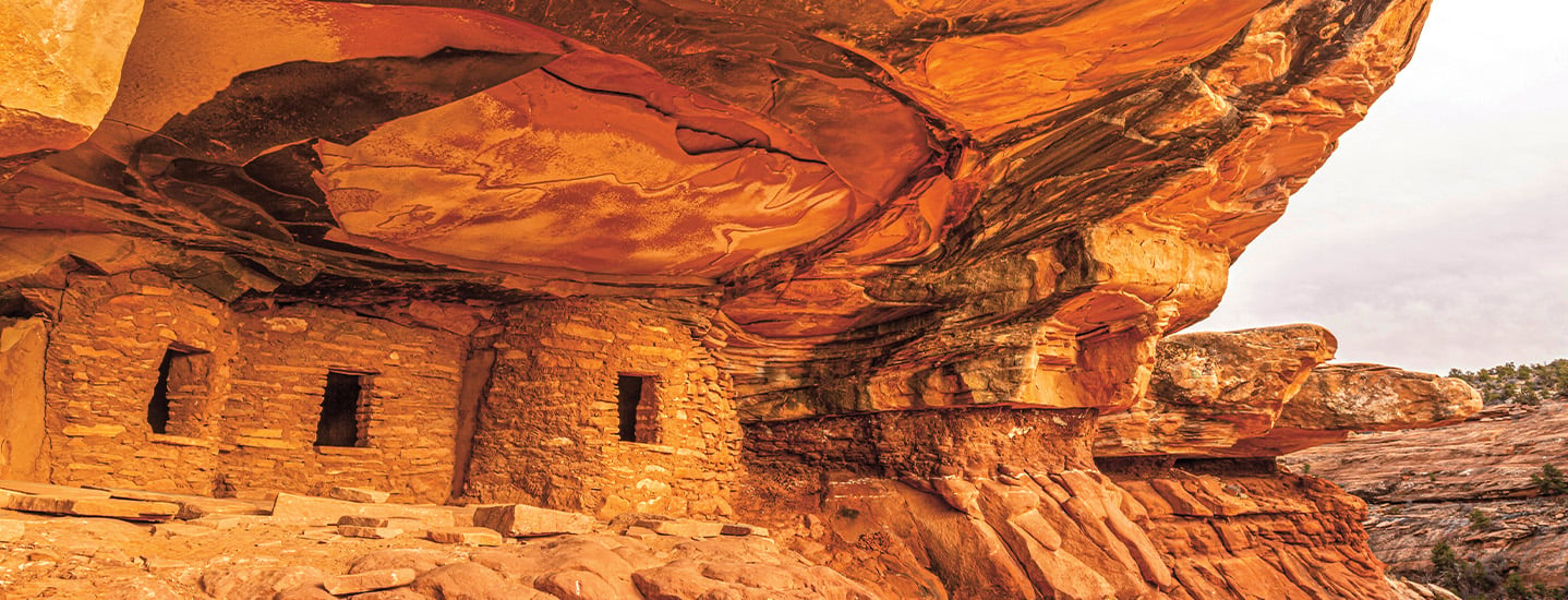
Every year, hundreds of thousands of people from around the world visit Bears Ears National Monument in Utah to hike, camp, or simply take in the views. Named for two buttes (towers of rock) that resemble the ears of a bear, the monument stretches across 1.36 million acres. Its rocky landscape includes mountains, cliffs, and sandstone valleys.
But for the nearly 20,000 Native American people who live nearby, Bears Ears is more than a tourist attraction. To them, the land is sacred. For centuries, the area’s many landforms and waterways—including red rock canyons and winding rivers—were home to their ancestors.
Now five Tribal Nations have joined forces with the U.S. government to help preserve the land. Last June, the Pueblo of Zuni, Navajo Nation, Ute Mountain Ute, Ute Indian Tribe, and Hopi signed an agreement to co-manage Bears Ears. The tribal coalition is working with the U.S. Bureau of Land Management and the U.S. Forest Service.
“We are being invited back to our homelands to help repair them,” says Carleton Bowekaty, the lieutenant governor of the Pueblo of Zuni. “Protecting Bears Ears protects our history and connection to our ancestors.”
Every year, hundreds of thousands of people from around the world visit Bears Ears National Monument in Utah. They hike, camp, or simply take in the views. The monument is named for two buttes (towers of rock) that look like the ears of a bear. Its rocky landscape stretches across 1.36 million acres that include mountains, cliffs, and sandstone valleys.
Nearly 20,000 Native American people live nearby. For them, Bears Ears is more than a tourist attraction. For centuries, the area’s many landforms and waterways—including red rock canyons and winding rivers—were home to their ancestors. They see the land as sacred.
Now five Tribal Nations have joined forces with the U.S. government to help protect the land. Last June, the Pueblo of Zuni, Navajo Nation, Ute Mountain Ute, Ute Indian Tribe, and Hopi signed an agreement to co-manage Bears Ears. The tribal coalition is working with the U.S. Bureau of Land Management and the U.S. Forest Service.
“We are being invited back to our homelands to help repair them,” says Carleton Bowekaty. He is the lieutenant governor of the Pueblo of Zuni. “Protecting Bears Ears protects our history and connection to our ancestors.”