
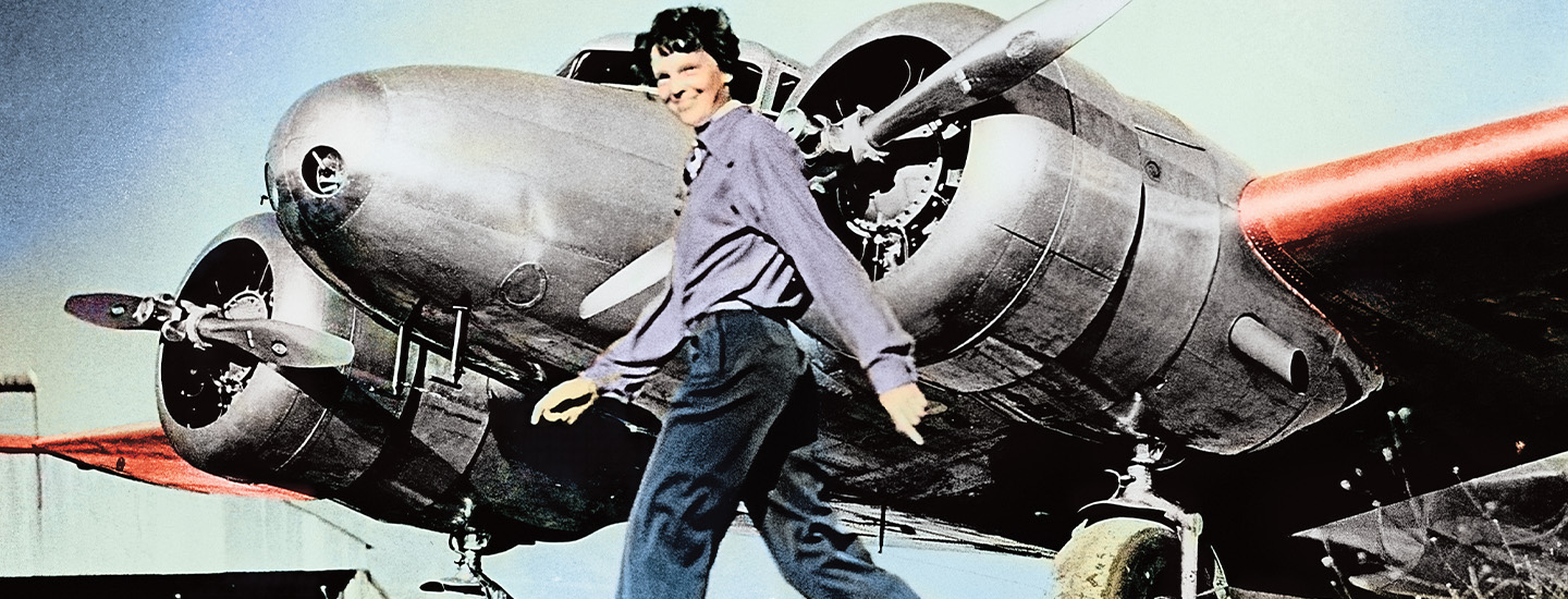
On July 2, 1937, Amelia Earhart was on her way to soaring into history. The world-famous pilot from Kansas was about three-fourths through the most daring mission of her career: to become the first woman to fly around the world. But something went wrong after she took to the skies that day. Earhart’s plane vanished over the Pacific Ocean, and she was never heard from again.
Decades later, people are still trying to figure out why.
On July 2, 1937, Amelia Earhart was on her way to soaring into history. The world-famous pilot from Kansas was about three-fourths through the most daring mission of her career. She wanted to be the first woman to fly around the world. But something went wrong after she took to the skies that day. Earhart’s plane vanished over the Pacific Ocean. She was never heard from again.
Decades later, people are still trying to figure out why.