In Kenya, the Great Rift Valley offers scenic views from thousands of feet above sea level.

iStockPhoto/Getty Images

STANDARDS

Common Core: RH.6-8.1, RH.6-8.2, RH.6-8.4, RH.6-8.7, WHST.6-8.4, WHST.6-8.9, RI.6-8.1, RI.6-8.2, RI.6-8.4, RI.6-8.7, W.6-8.4, W.6-8.9, SL.6-8.1

NCSS: Culture • People, Places, and Environments • Individual Development and Identity

GEO QUEST

Physical Elevation Map

Valley of Champions

Why do runners from a region in western Kenya keep winning the world’s biggest races?

During the fall of 2019 in Vienna, Austria, a long-distance runner named Eliud Kipchoge achieved something no human being had ever done before or since. He ran a marathon—26.2 miles—in under two hours. 

The very next day, at the Chicago Marathon in Illinois, Brigid Kosgei became the new women’s world record holder in the 26.2-mile race, a title she defended at the London Marathon this past October. 

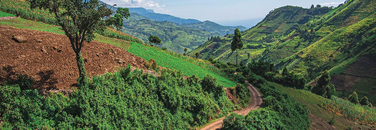
Like many professional athletes, Kipchoge and Kosgei are disciplined and dedicated to their sport. But they also have something else in common. They are both from a region of western Kenya that makes up part of the Great Rift Valley. This small corner of Africa has a population of about 10 million. That’s 0.13 percent of the world’s 7.7 billion people. Yet this region is home to nearly half of the world’s best distance runners.

Researchers have long studied why Kenyan athletes from the Great Rift Valley consistently dash across finish lines ahead of their exhausted competitors. One secret, they say, may lie in the region’s towering elevation.

Alex Halada/AFP via Getty Images

Kenyan athlete Eliud Kipchoge is the first—and only—person to run a marathon in under two hours.

Tough Terrain 

The Great Rift Valley is a series of valleys that extend some 4,500 miles across Southwest Asia and East Africa. 

Kenya’s portion of the valley is set high in the mountains. Parts of the region where many runners train have an altitude of more than 8,000 feet above sea level.

At that height, running is harder than it is at lower elevations because the air contains less oxygen, which supplies the muscles with energy. In high-altitude environments, runners draw in smaller amounts of oxygen per breath, which can leave them feeling weak and sluggish.

As athletes acclimate to high altitudes, however, they start to produce more red blood cells, which are responsible for carrying oxygen throughout the body. 

This becomes a huge advantage for these athletes when they go on to compete at lower elevations. Because there is more oxygen in areas closer to sea level, they can take in greater amounts of it with their extra blood cells. This gives them a natural energy boost, often allowing them to run faster.

It’s no wonder that professional runners from around the world go to western Kenya to train.

Richard Heathcote/Getty Images

Brigid Kosgei of Kenya holds the women’s world record in the marathon.

Chasing Success

But Kenyans born and raised in the Great Rift Valley may still have an edge over their peers who merely visit.

Many children in the region are active from a young age, often running to school, which helps them build endurance. People there also tend to eat healthy, unprocessed foods.

And finally, there’s the motivation factor. Few jobs are available in the Great Rift Valley other than farming, so aspiring runners train especially hard to make a career—and a name—for themselves. 

As Adharanand Finn, author of Running With the Kenyans, told reporters: “Running offers a great chance to make good money, to transform lives, [and] even to transform whole communities.” 

Kenya’s Lay of the Land

This map shows the physical characteristics of Kenya, including its elevation. Use the map to answer the questions.

Jim McMahon/Mapman®

PHYSICAL ELEVATION MAP 
This map of Kenya is a physical elevation map. Physical maps show information about a region’s terrain, including major landforms (such as mountains) and bodies of water (such as rivers). Elevation maps—which are a type of physical map—highlight the different elevations (in height above sea level) in an area. Elevation can be indicated in various ways, including color-coding.

MAP SKILLS

1. The highest-elevation areas of Kenya are indicated by which color?

2. What elevation range is that, in feet above sea level?

3. Many professional runners train in Iten. That city is in which elevation range?

4. From Kenya’s capital, in which direction would you travel to reach the city of Marsabit?

5. Marsabit is located in what kind of terrain?

6. Which physical feature labeled on the map is located northeast of Nyeri and southwest of Meru?

7. Which cities labeled on the map are lowest in elevation?

8. What physical feature makes up northeast Kenya?

9. Which city is in a higher elevation range: Eldoret or Moyale?

10. Given that rivers flow from regions of high elevation to regions of lower elevation, in which general direction does the Galana River flow?

Check out Map Skills Boot Camp for more geography practice.

Skills Sheets (4)
Skills Sheets (4)
Skills Sheets (4)
Skills Sheets (4)
Lesson Plan (2)
Lesson Plan (2)
Text-to-Speech